Maps: 1477 - 1500
From "Lithuanian historical maps: periods, methods, accuracy and perspectives" by Algimantas Cesnulevicius, Giedre Beconyte (See link at "Articles"
page on this site):
"The first geographical data about the territory of Lithuania are found in the works of Ancient Greeks and Romans. In the third book of the “Geographical Guide” by Claudius
Ptolemy (Fig. 2 below) there is a description of the Baltic area. Unfortunately, the original map has not survived until recent time. At the present we know several maps of
Central Europe compiled according to the data given by Ptolemy. In the Middle Ages these sparse and inaccurate data of the Antique geography about Lithuanian territory
were almost lost. Only some maps of that time, such as Al–Idrissi of the Hereford maps, do represent the main rivers of Lithuania. In the magnificent map of Fra Mauro (15th
century) the name of Lithuania has been mentioned. The first and more detailed cartographic view of Lithuania since the Antique times, appeared in the second half of the
15th century, in the epoch of the Renaissance and geographical discoveries."
Who are the founding map-makers of the historic Lithuanian area? According to an essay at:
"The catalogue is preceded by a short essay on some outstanding cartographers’ works, including maps of Poland belonging to the collection of Rapperswil. Some celebrities
of cartography are mentioned due to their input in the development of the presentation of the part of Europe in question: they include Ptolemy, Wapowski, Grodecki and
Wilhelm le Vasseur de Beauplan. On the other hand, there is no mention on such luminaries as Ortelius, Mercator, Blaeu or Sanson, as they had no influence on the
development of cartography of the area in question, although their works included maps of Poland, Lithuania, Ukraine, Silesia and Livonia. "
1482 Francesco Nicolo di Berlinghieri:
"TABVLA SECONDA DE ASIA." From Muzeum
Polskie Rapperswil, Switzerland
"TABVLA SECONDA DE ASIA." From Muzeum
Polskie Rapperswil, Switzerland


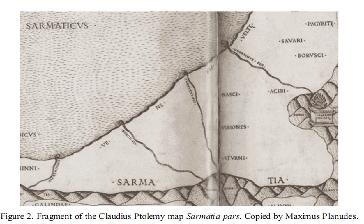
Claudius Ptolemy: "Sarmatia pars" as
reproduced in "Lithuanian historical maps:
periods, methods, accuracy and perspectives"
reproduced in "Lithuanian historical maps:
periods, methods, accuracy and perspectives"
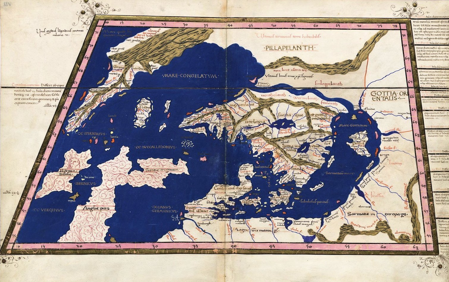
1490 Claudius Ptolemy: "Octava
Evropae Tabvla"
Evropae Tabvla"

1493 Hartman Schedel (Publisher)- Hieronymus Munzer (Editor)- Michael Wolgemut (Engraver): "Europa," from the
"Nuremberg Chronicle," in colored and uncolored versions. Also a DETAIL image of the colored version, from:
http://www.nada.kth.se/~ovidiu/maps/; the uncolored version is from www.bergbook.com
"Nuremberg Chronicle," in colored and uncolored versions. Also a DETAIL image of the colored version, from:
http://www.nada.kth.se/~ovidiu/maps/; the uncolored version is from www.bergbook.com

| 1482 Francesco Nicolo di Berlinghieri: "TABVLA OCTAVA DE EUROPA," Florence, 22.5 x 17.5 inches, printed with two woodblocks on one sheet, from his "Septe Giornate della Geographia di Francesco Berlinghieri" (The Seven Days of Geography), Berlinghieri's map is the third map of the region (pre-dated by 1477 and 1478 editions, but his map is of the highest importance for several reasons: 1. It is based on the projections of Marinus of Tyre, a second century AD Greek geographer, cartographer and mathematician, credited as the founder of mathematical geography, a system which would have been employed by Claudius Ptolemy at the time Ptolemy originally constructed his "Geographia." 2. It is the first printed map of the region to utilize a style notably different from the Nicholas Germanicus model and to adopt a different means for projecting the printed landmasses represented on the maps. 3. It was engraved by Niccolò Tedesco, a German printer. 4. It has rectangular borders rather than the trapezoidal borders employed in the earlier editions. From Barry Lawrence Ruderman, www.raremaps.com |

1477 Claudius Ptolemy: From the first
edition of his "Geographia" with maps --
probably engraved by Taddeo Crivelli --
published in Bologna. Note "Riga," and
"Livonia."
edition of his "Geographia" with maps --
probably engraved by Taddeo Crivelli --
published in Bologna. Note "Riga," and
"Livonia."
