Maps: 1500 - 1560
1507 Marco Beneventano (cosmographer/
publisher): "TABVLA MODERNA
POLONIE, VNGARIE, BOEMI,
GERMANIE, RVSSIE, LITHVANIE,"
Rome, from his edition of "Ptolemy's
Geographia." Also a DETAIL image of the
area around "Lithvanie," based on
information from Bernard Wapowski. From
The Austrian National Library:
www.onb.ac.at/sammlungen/karten
publisher): "TABVLA MODERNA
POLONIE, VNGARIE, BOEMI,
GERMANIE, RVSSIE, LITHVANIE,"
Rome, from his edition of "Ptolemy's
Geographia." Also a DETAIL image of the
area around "Lithvanie," based on
information from Bernard Wapowski. From
The Austrian National Library:
www.onb.ac.at/sammlungen/karten
1548 Giacomo Gastaldi:
"POLONIA ET HVNGARIA
NOVA TABVLA," Venice,
6.5 x 5 inches. From
Gastaldi's Ptolemy-based
atlas: "Ptolemeo. La
Geografia." From
www.raremaps.com
"POLONIA ET HVNGARIA
NOVA TABVLA," Venice,
6.5 x 5 inches. From
Gastaldi's Ptolemy-based
atlas: "Ptolemeo. La
Geografia." From
www.raremaps.com
1548 Giacomo Gastaldi (engraver/cartographer) - Giovanbattista Pedrezano
(publisher): "PRVSSIA ET LIVONIA NOVA," Venice, 6.5 x 5 inches / 13 x 17 cm, in
three copper-engravedversions from the first pocket atlas and the first edition of
Gastaldi's Italian Ptolemy-based atlas: "Ptolemeo. La Geografia." The maps in the atlas
were mostly based on the Münster woodcuts in the Latin edition of 1540.

| 1550 "POLONIA ET VNGARIA XV NOVA TABVLA" www.raremaps.com |

| 1550 "Landtafel des Ungerlands / Polands /Preussen / Littaw / Walachei/ Bulgarei." |
| 1552 "Nouuelle defcription de Poloigne & Hongrie," Basel. AK-27 |
1552 "POLONIA ET VNGARIA XX NOVA
TABVLA," Basel.
TABVLA," Basel.
1540 - 1560 Sebastian Münster: "Poland and Hungary," all from the same plate, 14 x 10 inches, as published in his Ptolemy-based "Geographia Universalis," published from
1540 until 1628 in about 40 different editions. Only the 1545 and the 1552 editions have XX in the title above the map -- other editions have XV in the title. And only the 1552
edition has coordinate bars provided at top and bottom. The map was based on ones from Bernard Wapowski, historian and "Founder of Polish Cartography," and by Georg von
Reicherstorffer, Transylvanian historian and cartographer.

| 1550 "POLONIAE ET VNGARIAE NOVA DESCRIPTIO." Basle. www.raremaps.com |

| 1560 "Nuoua descrizzione della Polonia, & dell' Vngaria." www.raremaps.com |


| c. 1550 "Landtafel des Ungerlands / Polands / Preussen / Littaw..." Basle. German text on verso. www.raremaps.com |

| 1552 "Nuoua deferizzione della Polonia & dell' Vngaria," Basel, 13.5 x 10.5 inches. www.raremaps.com |


Sebastian Münster: 1555: "Du royaume de Pologne,"
uncolored, from a French version of his atlas
"Cosmographia Universalis;" c1560: "...dem Koenigreich
Polandt..," the same map in a colored version from
German- language edition.
uncolored, from a French version of his atlas
"Cosmographia Universalis;" c1560: "...dem Koenigreich
Polandt..," the same map in a colored version from
German- language edition.

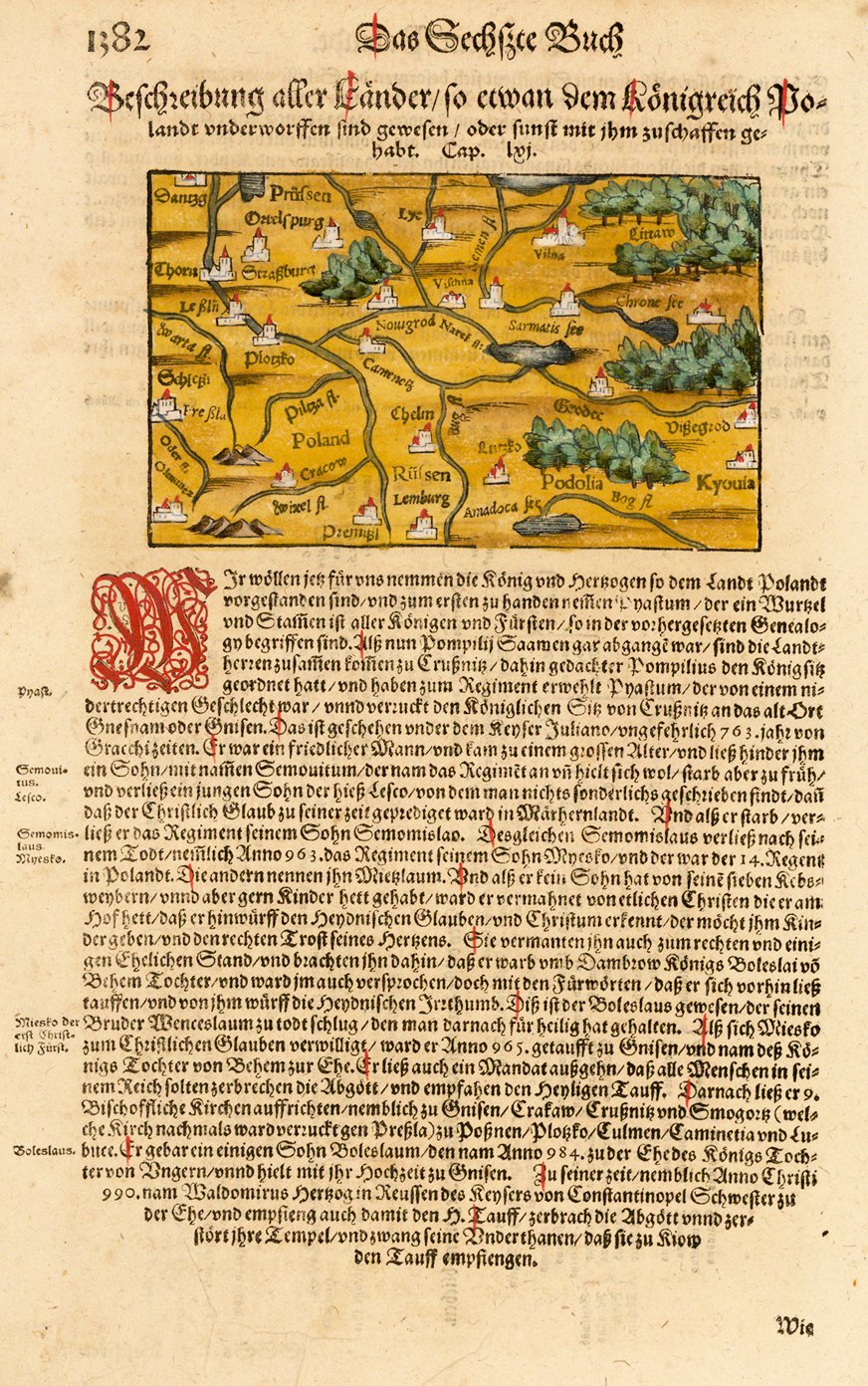
| 1555 |
| c. 1560 www.raremaps.com |
| 1540 (First edition) "POLONIA ET VNGARIA XV NOVA TABVLA," Basel. www.davidrumsey.com |
| 1542 "POLONIA ET VNGARIA XV NOVA TABVLA" www.swaen.com |

1552 "POLONIA ET VNGARIA XX NOVA
TABVLA," Basel. www.MartayanLan.com
TABVLA," Basel. www.MartayanLan.com


1538 Gaius Julius Solinus:
["Lithuania, Livonia..."], Basle, 4
x 3 inches, in a 16th century
republishing of a mid-3rd cent.
treatise: "De mirabilibus mundi"
('The wonders of the world)"
containing a description of the
ancient world, mostly taken from
Pliny's Natural History and the
geography of Pomponius Mela.
The map labels "Lithuania,"
"Vilna," "Grodno," "Livonia," and
"Riga." From www.raremaps.com


c. 1550 Sebastian Münster: "Regni Polonici
contracta descriptio," from an Italian
version of his atlas "Cosmographia
Universalis," published in many editions
from 1544 to 1628. From Zielonogórska
Biblioteka Cyfrowa via www.mapywig.org
contracta descriptio," from an Italian
version of his atlas "Cosmographia
Universalis," published in many editions
from 1544 to 1628. From Zielonogórska
Biblioteka Cyfrowa via www.mapywig.org


| c. 1550 "Nouuelle defcription de Poloigne & Hongrie." www.raremaps.com |

| c. 1552 "Nouuelle defcription de Poloigne & Hongrie." Univ. of Washington Digital Library: http://digitalcollections.lib.washington.edu |

| c. 1522-35 www.raremaps.com |
| 1541 www.alexandremaps.com |
| National Library of Latvia via www.theeuropeanlibrary.org |
| National Library of Estonia: www.nlib.ee |
| www.davidrumsey.com |
| 1545 "Landtafel des Ungerlands /Polands / Preussen /Littaw / Walachei / Bulgarei." http://digital.ub.uni-duesseldorf.de/ |

| 1552 "POLONIA ET VNGARIA XX NOVA TABVLA." From Harvard Digital Map Collection: http://vc.lib.harvard.edu/vc/deliver/home?_ collection=maps |
1541 Lorenz (Laurent) Fries (publisher) - Martin Waldseemüller (cartographer) - based
on information from Claudius Ptolemy: "Tabula noua Poloniæ, Vngariæ & Russiæ,"
Lyon, 12.1 x 14.3 cm, in two versions from Waldseemüller's "Cosmographie." Lorenz
Fries reworked maps by Waldseemüller for his version of Ptolemy's "Geographia." In
1541 Gaspar Trechsel reprinted Fries' 1522 maps, including "Tabula noua Poloniæ,
Vngariæ, & Russiæ," in Strassburg.
| 1541 vilkau on eBay |

1548 Antonio Salamanca
(engraver/publisher):
"Tabvla Moderna Poloniæ,
Vnganiæ, Boemiæ,
Germaniæ, Rvssiæ,
Lithuaniæ," Rome. From
Bibliothèque nationale de
France: www.gallica.bnf.fr
(engraver/publisher):
"Tabvla Moderna Poloniæ,
Vnganiæ, Boemiæ,
Germaniæ, Rvssiæ,
Lithuaniæ," Rome. From
Bibliothèque nationale de
France: www.gallica.bnf.fr
1522-25 [probaby]
Lorenz Fries: "TAB[ULA]
MOD[ERNA] TARTARIE,"
Strassburg, 35.2 x 47.0
cm, from Grüninger's
1522 or 1525 Ptolemy
atlas "Geographia." From
www.sothebys.com
Lorenz Fries: "TAB[ULA]
MOD[ERNA] TARTARIE,"
Strassburg, 35.2 x 47.0
cm, from Grüninger's
1522 or 1525 Ptolemy
atlas "Geographia." From
www.sothebys.com


1513 Martin Waldsee-
müller: "Tabvla Moderna
Sarmatie Evr Sive
Hvngarie, Polonie, Rvssie,
Prvssie..," Lorraine, 15 x
21.5 inches, from his
"Geographia." From
www.raremaps.com
müller: "Tabvla Moderna
Sarmatie Evr Sive
Hvngarie, Polonie, Rvssie,
Prvssie..," Lorraine, 15 x
21.5 inches, from his
"Geographia." From
www.raremaps.com

1548 Johannes Stumpf
(historian): "Sarmatia,"
Zurich, 12 x 15 cm, from
the 1548, first edition of
his "“Gemeiner loblicher
Eydgnoschafft Stetten,
Landen und Voelckeren
Chronick wirdiger
thaaten Beschreybung.
From Antiquarian bookshop,
Kurt Lammek: views-maps on
eBay.de
(historian): "Sarmatia,"
Zurich, 12 x 15 cm, from
the 1548, first edition of
his "“Gemeiner loblicher
Eydgnoschafft Stetten,
Landen und Voelckeren
Chronick wirdiger
thaaten Beschreybung.
From Antiquarian bookshop,
Kurt Lammek: views-maps on
eBay.de

| 1550 "Landtafel des Ungerlands /Polands / Preussen / Littaw..." Basle. German text www.antique-maps.lt |


| 1545 "POLONIA ET VNGARIA XX NOVA TABVLA" www.swaen.com |

| c. 1556 "Landtafel des Ungerlands /Polands / Preussen / Littaw..." Basle. German text www.oldworldauctions.com |
